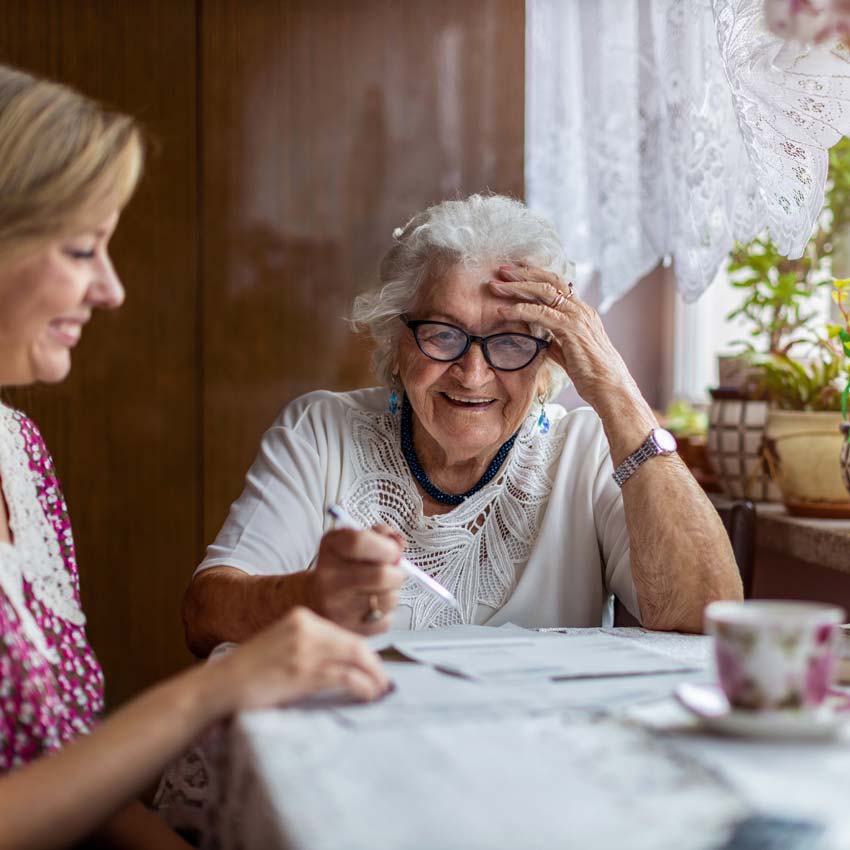
Supporting independent living across Barnet
Barnet sits on the border of Hertfordshire and North London, with a large and diverse older population. Residents in areas such as Chipping Barnet, New Barnet, East Barnet, and Arkley may need support to continue living independently, particularly as local NHS services face ongoing demand.
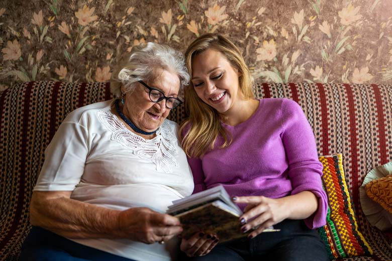
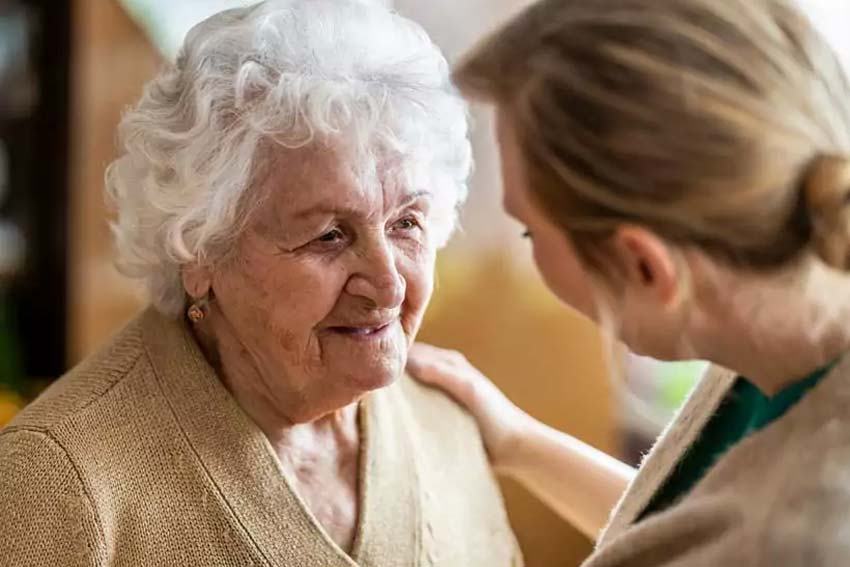
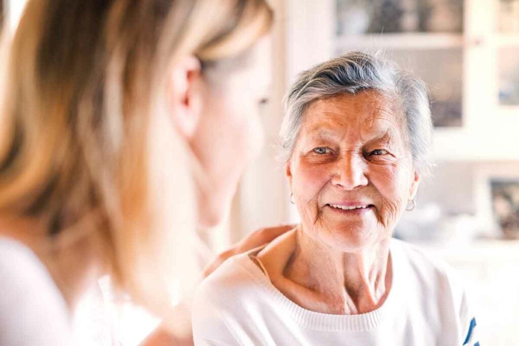
Our experienced Barnet carers provide reliable, personalised home care.